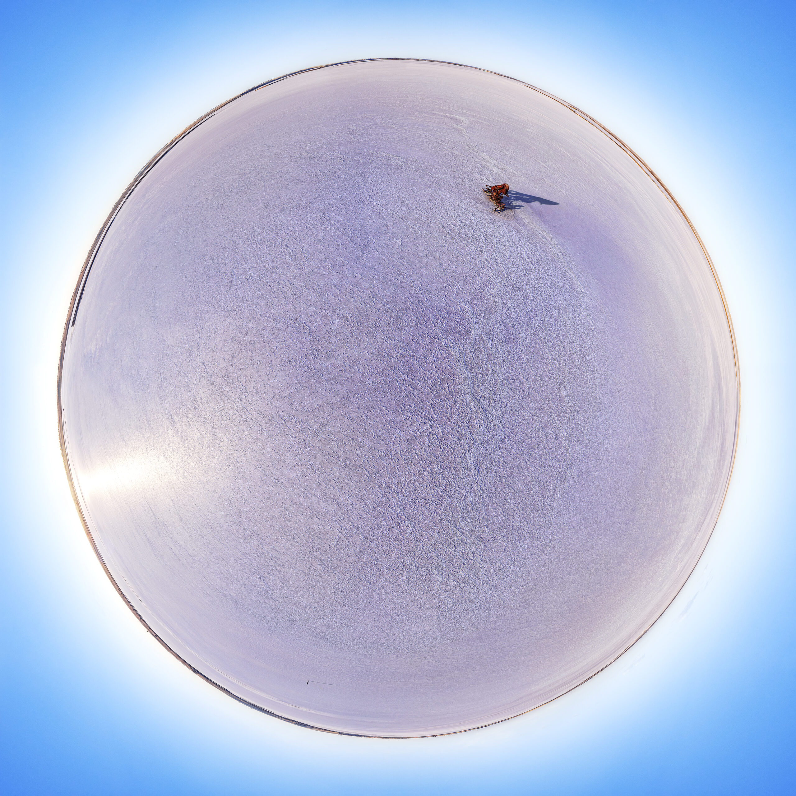
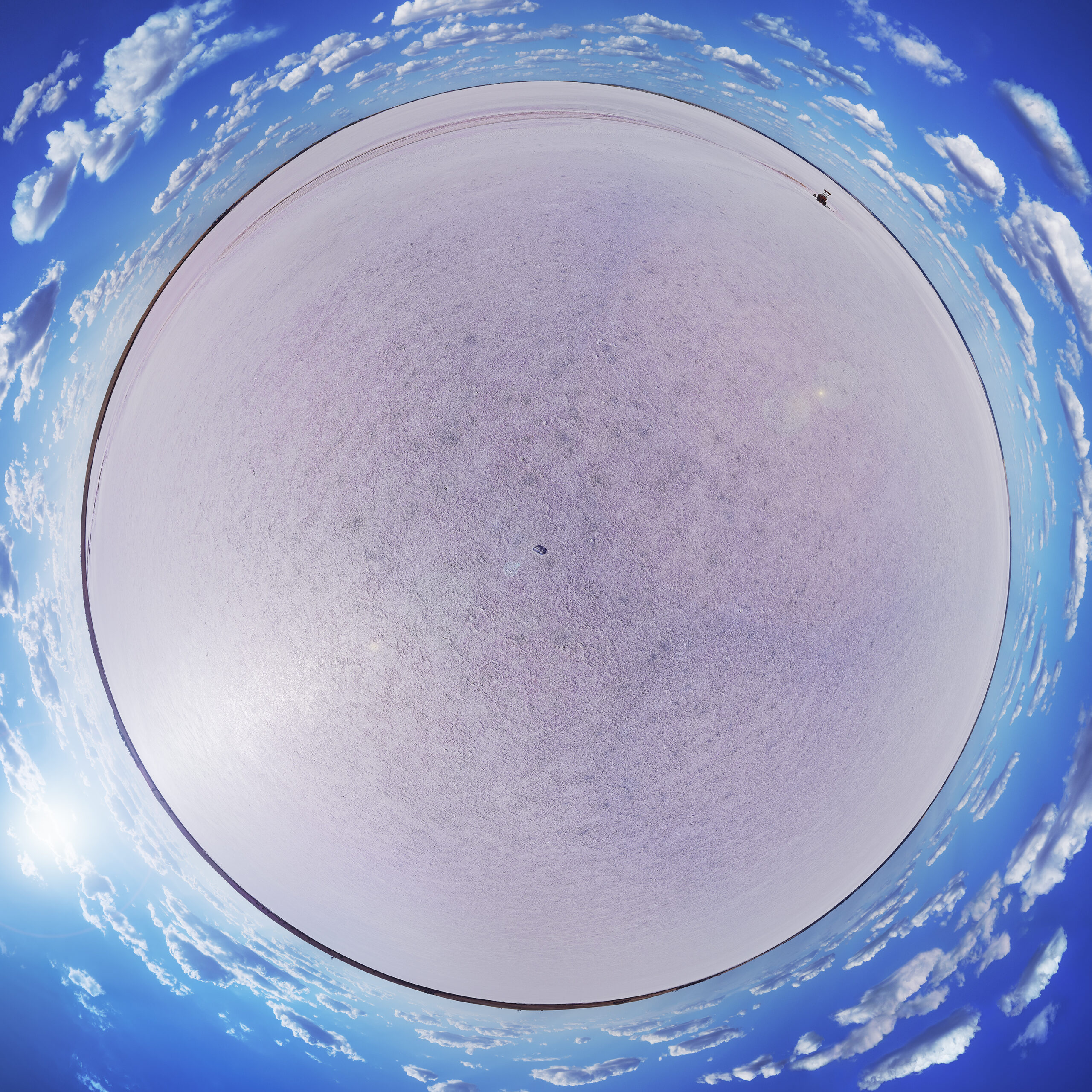
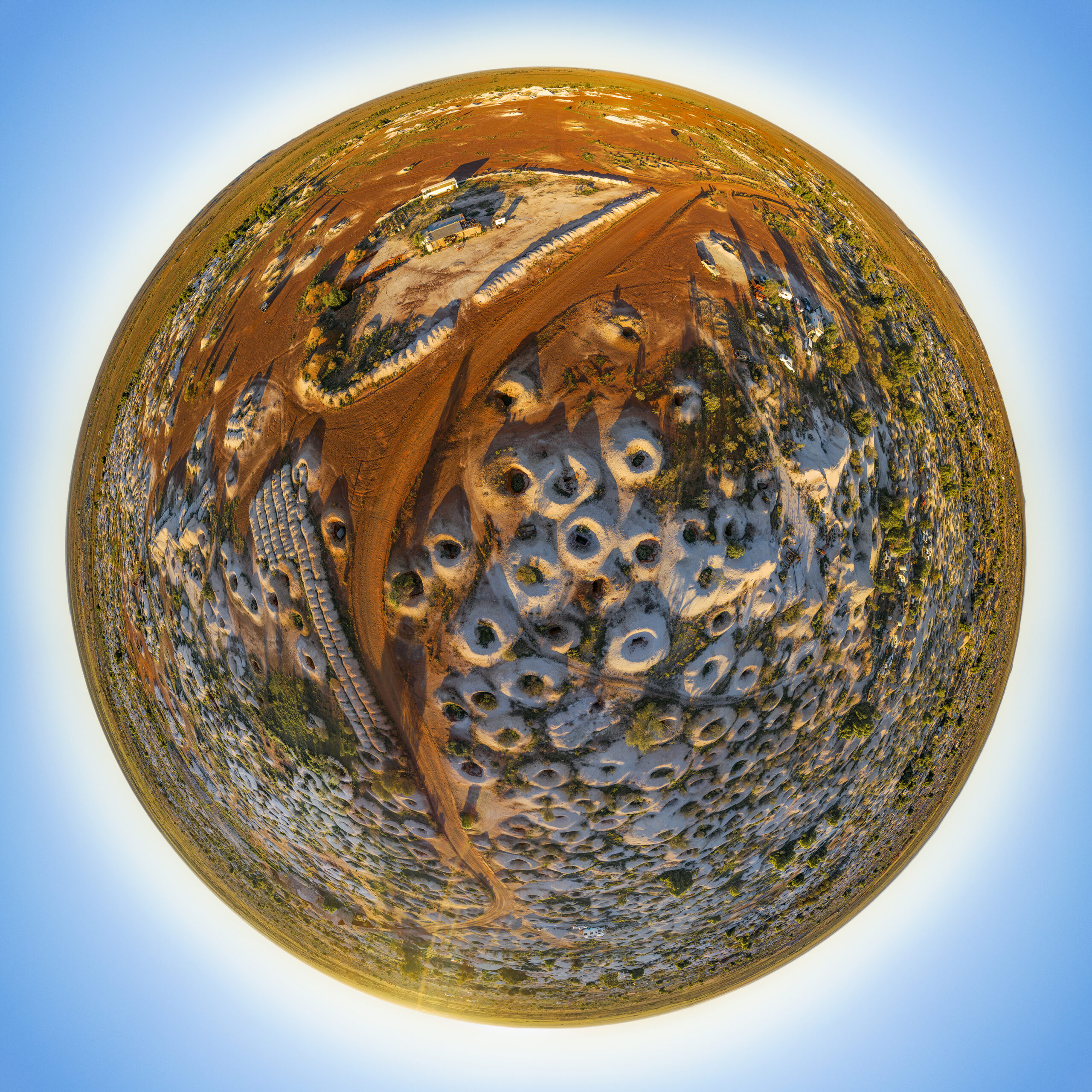
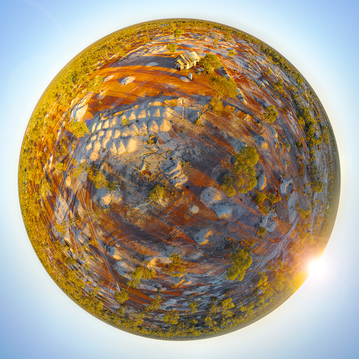
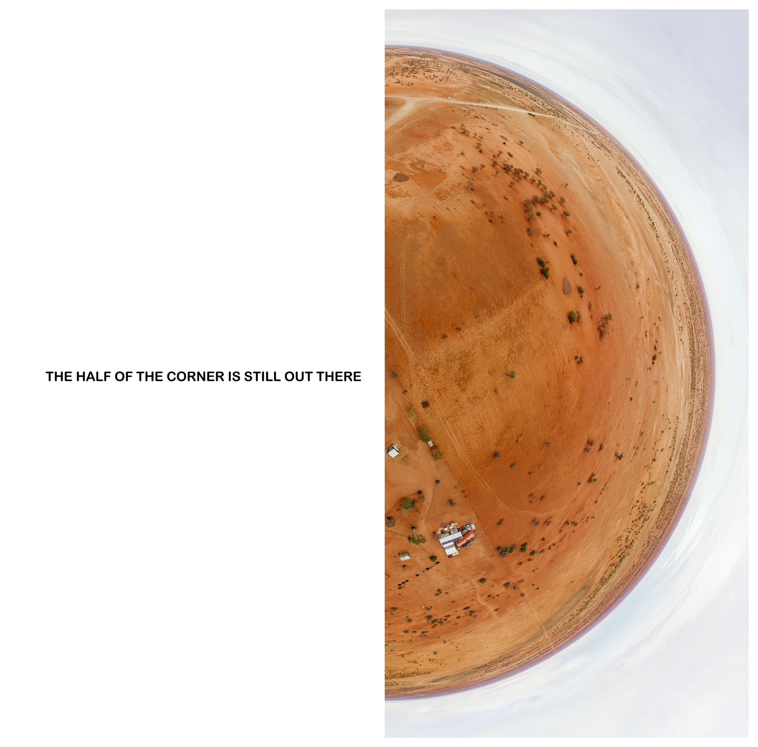
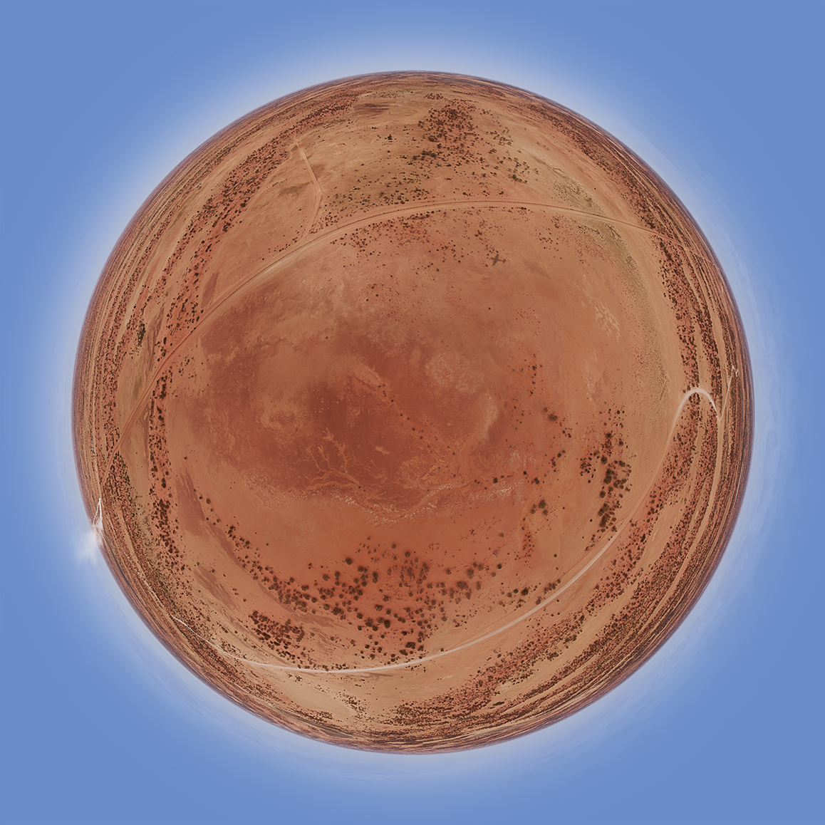
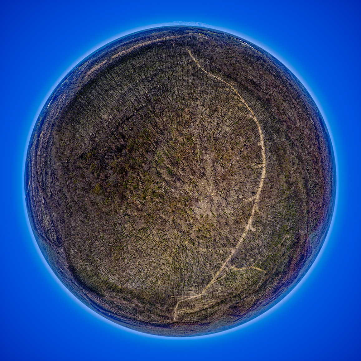
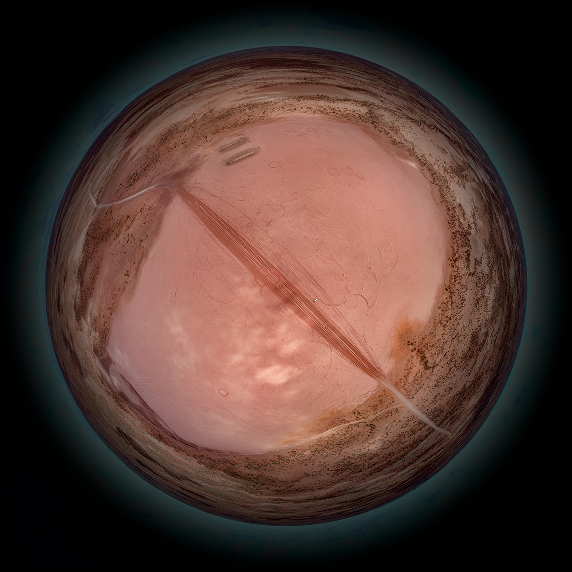
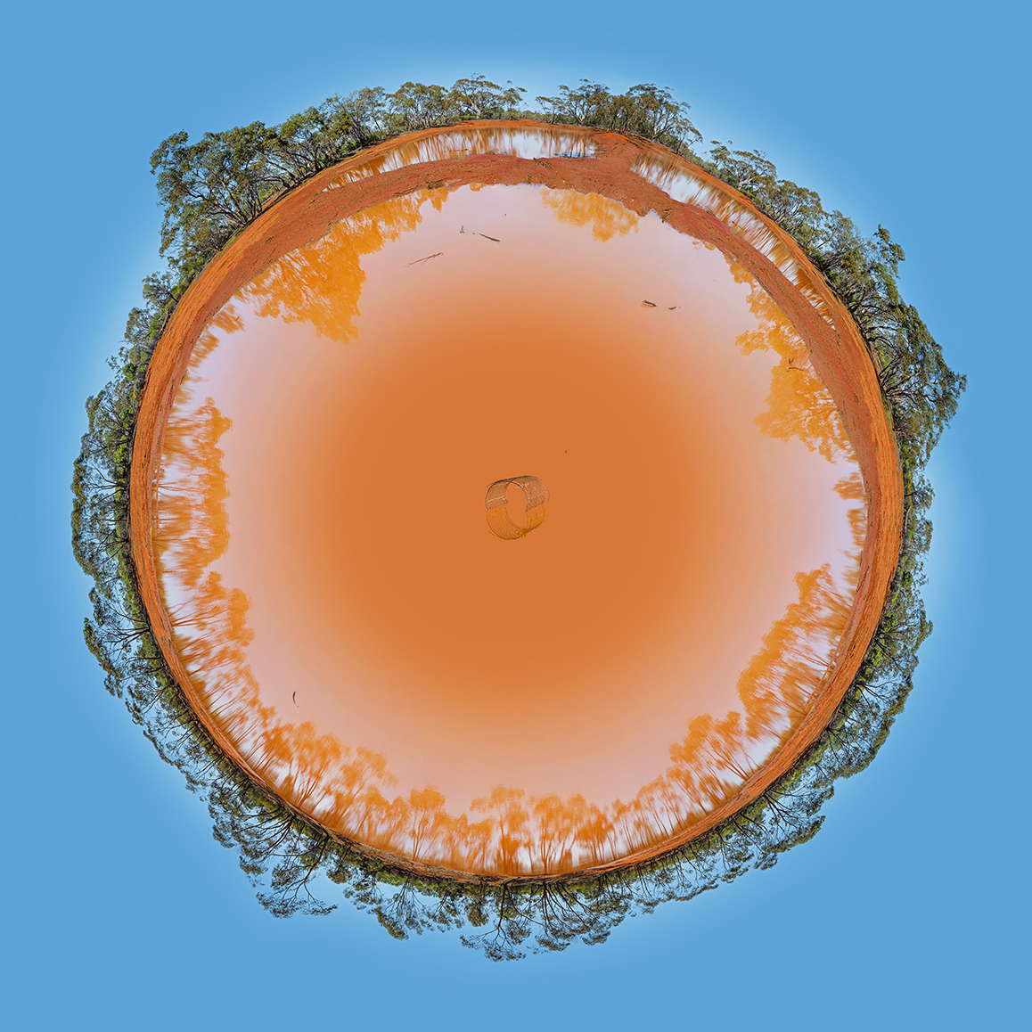
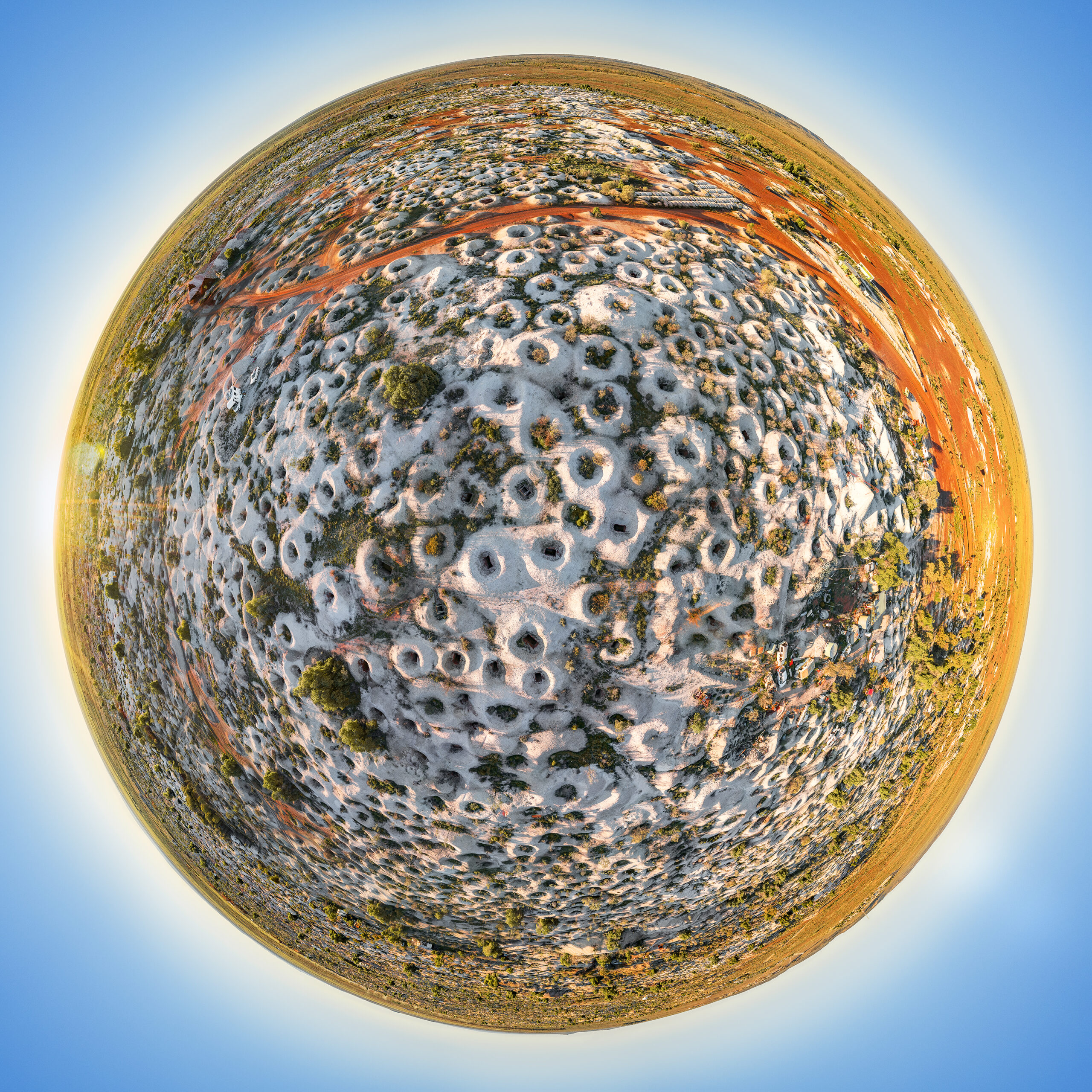
Unforbidden Ruralscapes investigates the formal and perceptual conditions of aerial lens-based practice as a mode of landscape reconfiguration. Employing drone-collected imagery reconstructed into spherical compositions, the series proposes that the elevated vantage point is not merely a technical position but an epistemological one – a reorganisation of how land is read, measured, and understood in relation to human presence. Man-made structures and patterns of rural land use are held within the scale of the surrounding Australian outback, producing images that refuse the ground-level assurances of proximity and legibility.
The work is concerned with what becomes visible – and what becomes abstract – when the human trace is observed from altitude. Remote rural communities leave marks on the land legible only at distance: geometries of use, repetition, adaptation. Unforbidden Ruralscapes attends to this legibility without resolving it into documentation. The spherical reconstruction functions as a formal proposition – that landscape is not a given but a construct, and that the point-of-view one adopts determines, in full, the landscape one is able to see.